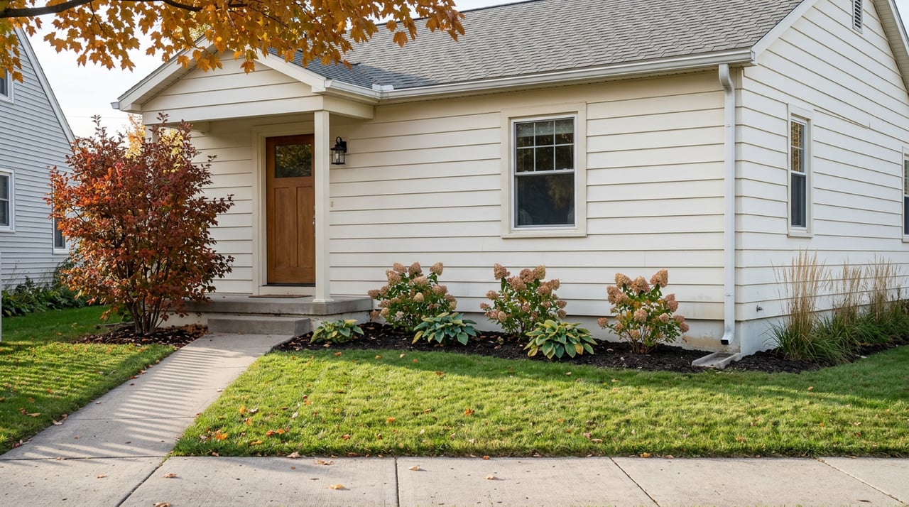
The Saturday Hatley Turns Into a Trailhead: A Resident's October Playbook
August 6, 2026
August 6, 2026
If you live in Hatley, you already know the tell. The Marathon County Public Library parking lot at 435 Curtis Avenue fills up before the coffee is cold, license plates from Portage and Outagamie and one from Iowa, and a cluster of hikers stretching calves against the wheel wells of their own cars. The village is small enough that this stands out. On most weekends it is a curiosity. On Saturday, October 10, 2026, it is the entire point.
That is the day the Central Moraines Chapter of the Ice Age Trail Alliance runs its Hike-a-Thon from 8:00 a.m. to 4:00 p.m., headquartered at the Community room of the Hatley Branch of the Marathon County Public Library, 435 Curtis Avenue. For anyone whose front door sits within walking distance of Curtis or Clark, it is worth understanding what changed under your feet without much fanfare: Hatley is not a village near the trail anymore. It is on it.
In March 2024, Hatley signed on as an official Ice Age Trail Community. With the addition of Hatley and the Greater Wausau area, there are now 21 Ice Age Trail Communities along the Trail. The paperwork was quiet. The consequences are not.
"The Ice Age Trail continues to grow in popularity with increased interest in outdoor hiking," says David Narloch, Hatley Village president. "Our geographical location to the trail, along with our population growth, will be a win/win situation for both parties working as a team promoting each other's facilities."
Translated for a Saturday morning: the village's small commercial spine now catches trail traffic it did not catch three years ago. Marathon County is home to more than 40 miles of completed Ice Age Trail, including iconic segments such as Plover River, Dells of the Eau Claire, and Ringle, and the southern endpoint of the Ringle Segment sits in Hatley on Curtis Avenue. The library trailhead is not a bonus feature. It is the terminus.
Residents who have walked the Ringle Segment once and shrugged tend to miss what it is. It is not a park loop with a nature-center flavor. The Ringle segment is a 9.4-mile single-track footpath in Marathon County, moderately difficult, with frequent small hills as it bounces around through mixed hardwood and pine forest. That is a serious afternoon if you commit to the point-to-point.
A few things worth knowing before you lace up:
The counterintuitive detail is elevation. On paper the trail looks flat. This segment was much flatter and easier to hike from that perspective, but a new challenge is introduced here: bogs, since the underground water level is so close to the surface, just about any depression or small kettle will have water/mud in it. October firms things up. April does not.
The Hike-a-Thon setup is worth reading closely if you are trying to plan your own Saturday around it, whether you hike or not.
Sign-in runs anytime between 8:00 a.m. and 12:00 p.m. for self-shuttled and volunteer-shuttled hikers, with a shuttle bus departing from the library at 8:45 a.m. and again at 10:00 a.m. Checkpoints with water, snacks, and exit shuttles at a hiker's request are available at Hoot Owl Drive, Poplar Lane, and Duncan Road. Sign-out is 4:00 p.m. for all hikers.
That means Curtis Avenue is a shuttle corridor for a full working day. If you live off Curtis or Clark and you were planning to run errands to Wausau, the morning window between the two shuttle departures is your quiet stretch. The suggested donation is $25.00 per adult participant, either as an Alliance member or non-member price, or collected through pledges.
Cost of admission is real. So is the fact that pets are welcome but must be on leash and under control at all times. That last one matters for anyone who normally lets a dog off-lead on the Poplar Lane stretch. October 10 is not the day.
Here is the local knowledge no visitor picks up on their first pass. Hatley's four-block commercial stretch is not built for hikers, but it is where they land, and it is where you will run into your neighbors. The village offers hiker essentials, including restaurants, a grocery, and restrooms, which is what the Alliance means when it uses the word "community" in the designation.
The refuel geography, in walking order from the library:
Blessed Beans Cafe sits 0.43 miles from Hatley Hangout, which puts it near the library and makes it the natural early-morning pre-hike stop. If you have been meaning to try it for eight months, October 10 is the correction. Every stool will be occupied by 9 a.m., and none of them by people from Hatley if residents do not show up.
Hatley Hangout at 208 Clark St, Hatley, WI 54440, is the room the guidebooks send you to. It is the "finally I don't have to drive 30 miles for a decent pizza" pizza takeout the Yelp review keeps quoting, and it functions as the de facto after-hike bar because it is closest. Regulars know it thins out after 8 p.m. on a Saturday, which is when the hikers have driven home and the porch is yours again.
Freddy's Mexican & More sits about a block off Clark, close enough that Subway, Freddy's Mexican & More, and Blessed Beans Cafe cluster within a half-mile of Hatley Hangout. If Hangout is stacked, this is the pressure valve.
PK Slammers and the Barrel Inn absorb the overflow when the tables at Hangout run out. Both show up in every restaurant roundup of Hatley since the Trail Community designation, and both benefit disproportionately from a full library parking lot.
Lisa's at Lakeside is the 3.4-mile drive from the village center, which puts it out of walking range from the trailhead but well inside the range of someone who has just finished 9.4 miles and wants a proper sit-down.
Because the pattern is stickier than the event. "Having Hatley and the Greater Wausau Area join the Ice Age Trail Community family is symbolic of the Trail's ability to connect communities of all sizes," says Luke Kloberdanz, Executive Director and CEO of the Ice Age Trail Alliance. That translates into a slow, steady rise in Saturday foot traffic that most residents will notice in the small ways first: the library parking lot filling earlier, the coffee shop running out of muffins by 10, the Hangout patio holding out-of-town plates until close.
Approximately 60% of Wisconsin residents live within 20 miles of the Ice Age Trail. Hatley has been in that 60% for years. What changed in 2024 is that the trail formally started sending people back.
The Hike-a-Thon on October 10 is a fine excuse to see it happen at scale before the pattern settles into every second Saturday. It is also a fine excuse to walk the boardwalks in a month when the bogs behave.
Hatley is a small village doing a specific thing well, and the fall calendar is the clearest window into what that thing is now. If you are watching the shift in trail traffic from your own front porch and thinking about what it means for your home's place in the market, Joleta Wesbrock knows this corner of Marathon County by the driveway, not just the ZIP code. Guiding You Home — Get Your Free Home Valuation.
Stay up to date on the latest real estate trends.
I offer the highest level of knowledge, service and integrity. I care deeply about my clients and customers. Their real estate needs are my #1 priority and my goal is to exceed your expectations and be your realtor for life.