First-Time Hunting Land Buyers Guide To Ringle WI
July 2, 2026
July 2, 2026
Are you dreaming about owning hunting land near Ringle, Wisconsin, but not sure how to avoid an expensive mistake? That is a common spot for first-time land buyers, especially when a property looks great online but has hidden issues with access, wet ground, or boundaries. If you want a smarter way to evaluate recreational land in the Ringle area, this guide will walk you through the key checks to make before you write an offer. Let’s dive in.
Ringle sits in a part of Marathon County where recreational land buyers often see real potential. Marathon County says the Ringle Forest Unit covers 3,108 acres south of Highway 29 between Weston and the Village of Ringle, giving the area a strong public-land backdrop.
That nearby public land matters if you enjoy hunting or want property near established outdoor use. Marathon County also notes that county forest units support hunting opportunities for bear, deer, rabbit and hare, squirrels, upland game birds, and waterfowl.
At the same time, nearby public land can change how you should evaluate a private parcel. It makes it even more important to confirm boundaries, understand where legal access starts and ends, and think through seasonal traffic or shared use patterns.
One of the biggest mistakes first-time buyers make is assuming a parcel is easy to reach just because it appears accessible on a map. In rural areas near Ringle, that assumption can create real trouble after closing.
The Wisconsin DNR says its Public Access Lands mapping application is the main statewide tool for planning public-access recreation. It includes DNR lands and some private lands that are open through programs such as MFL, FCL, VPA, and THAP.
That tool is helpful for context, but it does not replace on-the-ground verification. The DNR warns that third-party maps can be wrong, and posted signs and boundary markers on the land override map lines.
Marathon County GIS can also help you review parcel layout and nearby land uses. But the county clearly states that its mapping products are for reference only and are not legal instruments.
If access, corners, acreage, or a shared drive seem unclear, treat that as a serious issue, not a small detail. Marathon County says exact accuracy should be confirmed with certified maps, surveys, plats, Flood Insurance Studies, or other official means.
Before you offer on hunting land in Ringle, ask:
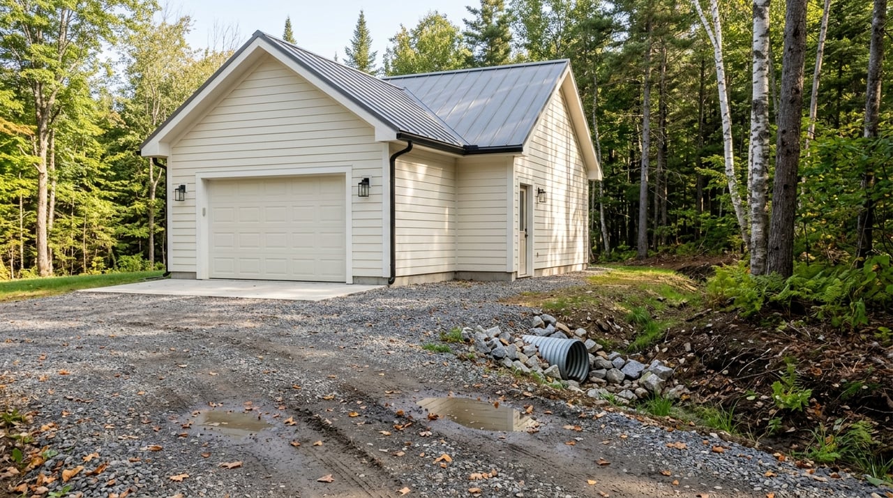
A parcel can have the right price and the right acreage, but still be a poor fit if the land stays wet for much of the year. That is especially relevant in this area.
Marathon County describes the Ringle Forest Unit as fairly wet. For private buyers, that means drainage may affect far more than comfort. It can influence how you access the property, where you place trails, whether food plots are practical, and how usable the land feels by season.
The USDA NRCS Web Soil Survey is a practical early screening tool for land-use decisions. It provides current soil information and lets you build maps and reports for a selected area.
For first-time buyers, this can be one of the most useful early checks. If your plan includes walking the land regularly, setting up hunting access, or eventually building, drainage and soil conditions deserve close attention right away.
Zoning is not something to figure out after closing. In Ringle, it needs to be part of your early review.
Marathon County says Ringle is among the town-zoned towns, which means the town administers its own general zoning ordinance. The county also advises buyers to verify the current zoning district map.
This matters because a parcel that works for seasonal recreation may not line up with your future plans. If you hope to build, add structures, or change the use later, you need to understand the zoning rules tied to that specific property.
If the land touches water or a navigable stream, shoreland overlay maps may also apply. Marathon County says those overlays cover 1,000 feet from navigable ponds, lakes, and flowages and 300 feet from navigable streams and rivers.
Because navigability determinations may be needed, waterfront or stream-adjacent parcels can require extra review. That does not mean you should avoid them, but it does mean you should ask more questions before moving forward.
If you are buying a larger parcel now and think you may split it later, that future plan should shape your decision today. Many first-time land buyers overlook this.
Marathon County says parcels in unincorporated municipalities can be split only if they comply with county land division and zoning ordinances. The county also notes that parcels created at less than 10 acres may require a Certified Survey Map.
The County Surveyor’s Office says Chapter 18 applies to all unincorporated lands in Marathon County and is intended to regulate land division and preserve the value and proper use of land. In simple terms, not every parcel can be divided the way a buyer imagines.
If a future split is important to your long-term plan, bring that up before you buy. It is much easier to screen for that possibility upfront than to discover limits later.
Some hunting land in Wisconsin comes with tax-law enrollment, and that can affect both your costs and how the land is used. If a parcel is enrolled in Managed Forest Law or Forest Crop Law, you need to understand what that means before closing.
Wisconsin DNR materials say forest tax laws provide a property-tax incentive, and open MFL lands allow public hunting, fishing, hiking, sightseeing, and cross-country skiing. Owners also must follow program requirements.
That makes one question especially important: is the parcel open or closed under the program? A first-time buyer should not assume private ownership always means private recreational use.
The DNR also notes that failure to comply with program requirements can trigger penalties or withdrawal costs. Ask whether any post-closing filings, management obligations, or access rules would become your responsibility.
Use this checklist when reviewing enrolled land:
For a quick first screening, it helps to use more than one source. No single map gives you the full picture.
The Wisconsin DNR Public Access Lands map is useful for understanding nearby public access and open tax-law lands. Marathon County GIS helps with parcel context, but the county says it is for reference only.
The NRCS Web Soil Survey helps you review soil and drainage conditions that may affect use. Used together, these tools can help you narrow down the right questions before you spend money on deeper due diligence.
Still, if something important seems unclear, do not rely on online maps alone. On rural land, small details can make a big difference.
Many first-time buyers ask if a survey is really necessary. In land purchases, the answer is often yes when there is any uncertainty about boundaries, corners, shared drives, or future division.
Marathon County says its maps are not legal documents and exact accuracy requires certified maps or surveys. That is a strong reason to take boundary questions seriously.
The County Surveyor records and re-establishes section markers, reviews private surveys, and helps the public with boundary questions, but the county does not perform survey work itself. The county also maintains a licensed surveyor contact list, which can help buyers find the right professional.
If you are buying hunting land for privacy, access, or future planning, a survey can protect you from costly surprises. It is often easier to pay for clarity upfront than to deal with a dispute later.
Land purchases often involve a different process than a standard home purchase. That is why building the right team early can make the transaction smoother.
If a parcel has unclear boundaries or access, a local registered surveyor may need to be part of your due diligence. If the parcel may involve MFL or FCL questions, you should clarify those program details before closing.
Financing can also differ from a regular home mortgage. Buyers should ask their lender what loan product is being used and what disclosures or requirements apply to the purchase.
If your long-term plan includes building a cabin or home, bring that up in your lender conversation as early as possible. Your financing path for raw land may not match the path you would use for a move-in-ready house.
If you are buying hunting land in Ringle for the first time, try to think beyond acreage and price. A smaller parcel with better access, clearer boundaries, and more usable ground may serve you better than a larger property with hidden limitations.
A practical first-pass review should include public-access context, parcel mapping, soil and drainage screening, zoning review, and questions about tax-law enrollment. Those steps can help you avoid common mistakes and move forward with more confidence.
Buying land should feel exciting, not uncertain. With the right local guidance and a careful review process, you can focus on finding property that fits how you actually want to use it.
If you are exploring hunting land or recreational acreage in the Ringle area, Joleta Wesbrock can help you evaluate your options with local insight and a steady, practical approach.
Stay up to date on the latest real estate trends.

I offer the highest level of knowledge, service and integrity. I care deeply about my clients and customers. Their real estate needs are my #1 priority and my goal is to exceed your expectations and be your realtor for life.