Drone and Pro Photography for Mosinee Homes
October 16, 2025
October 16, 2025
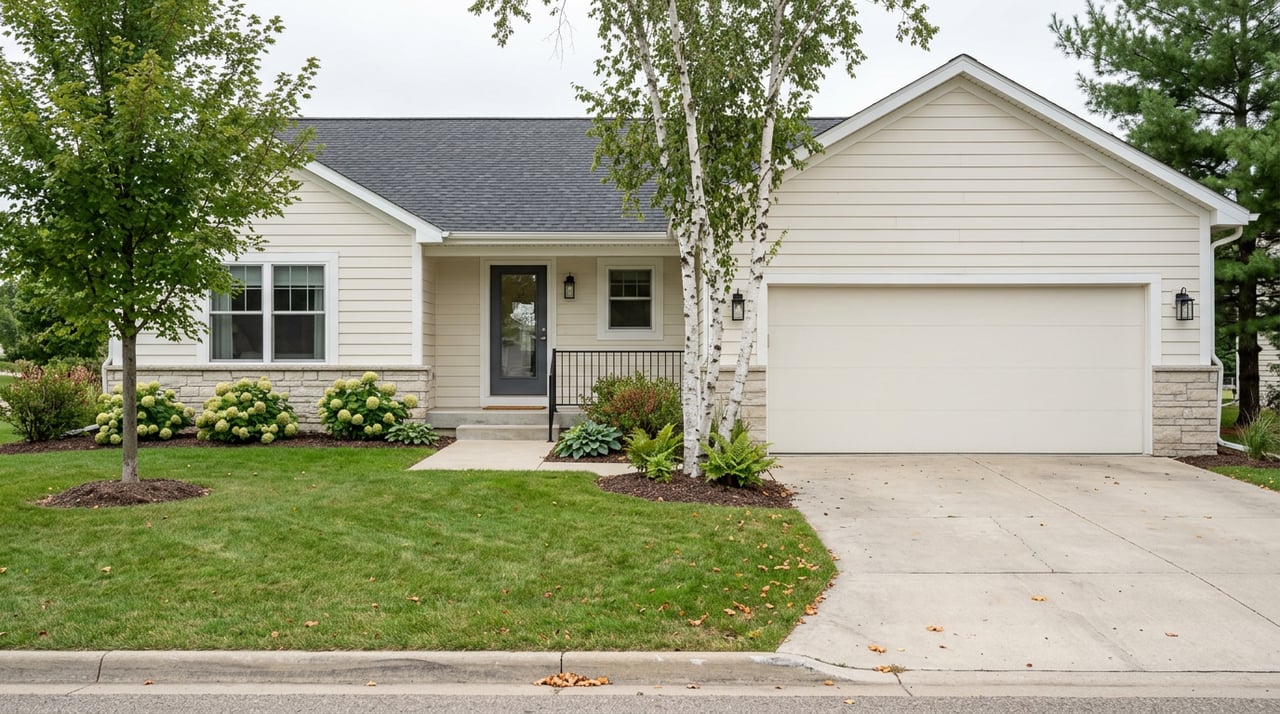
Thinking about how to make your Mosinee home stand out online? Buyers scan dozens of listings, so your photos must tell the full story quickly. With the right drone and professional photography, you show location, lifestyle, and features in a way ground photos alone cannot. In this guide, you’ll learn when aerials make sense, how to stay legal near Central Wisconsin Airport, the best timing for shoots, what to ask photographers, and how to get the most impact. Let’s dive in.
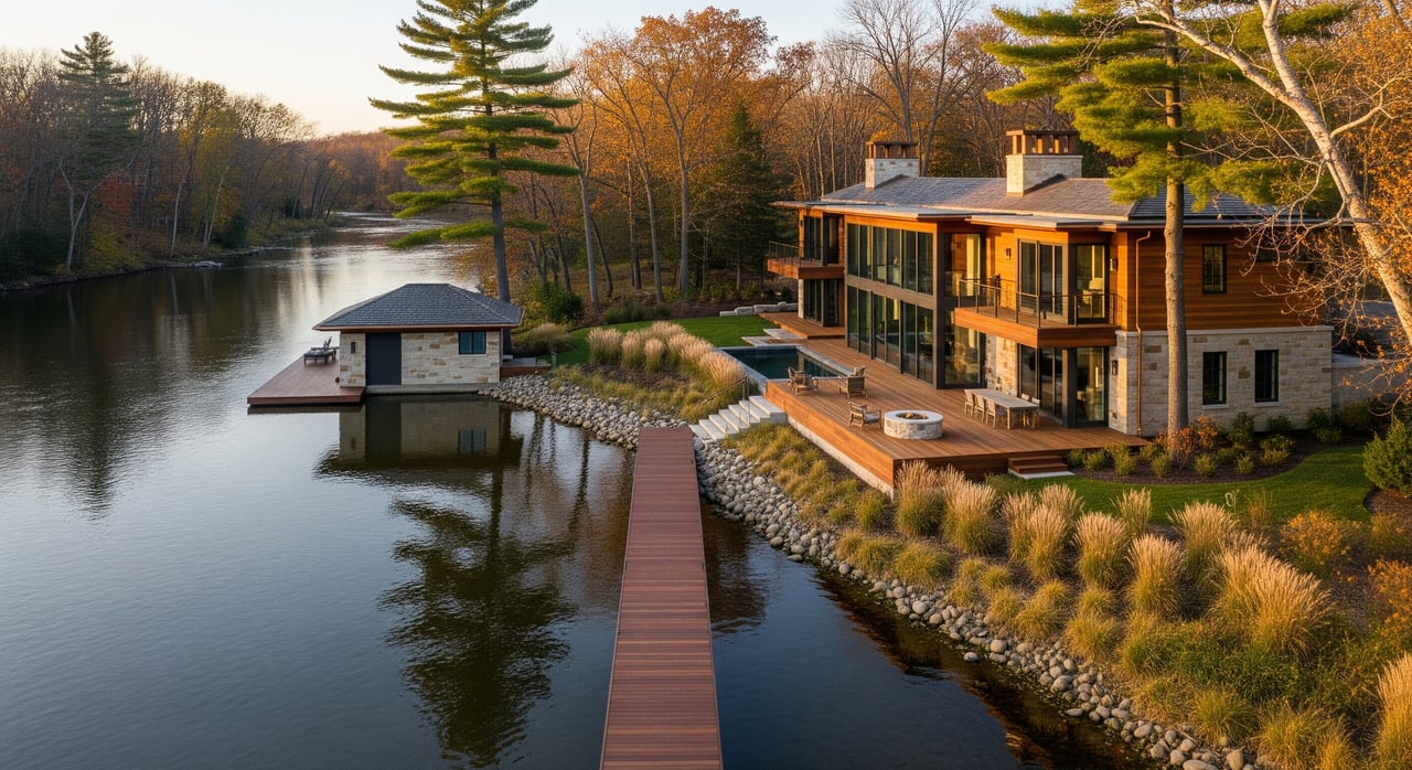
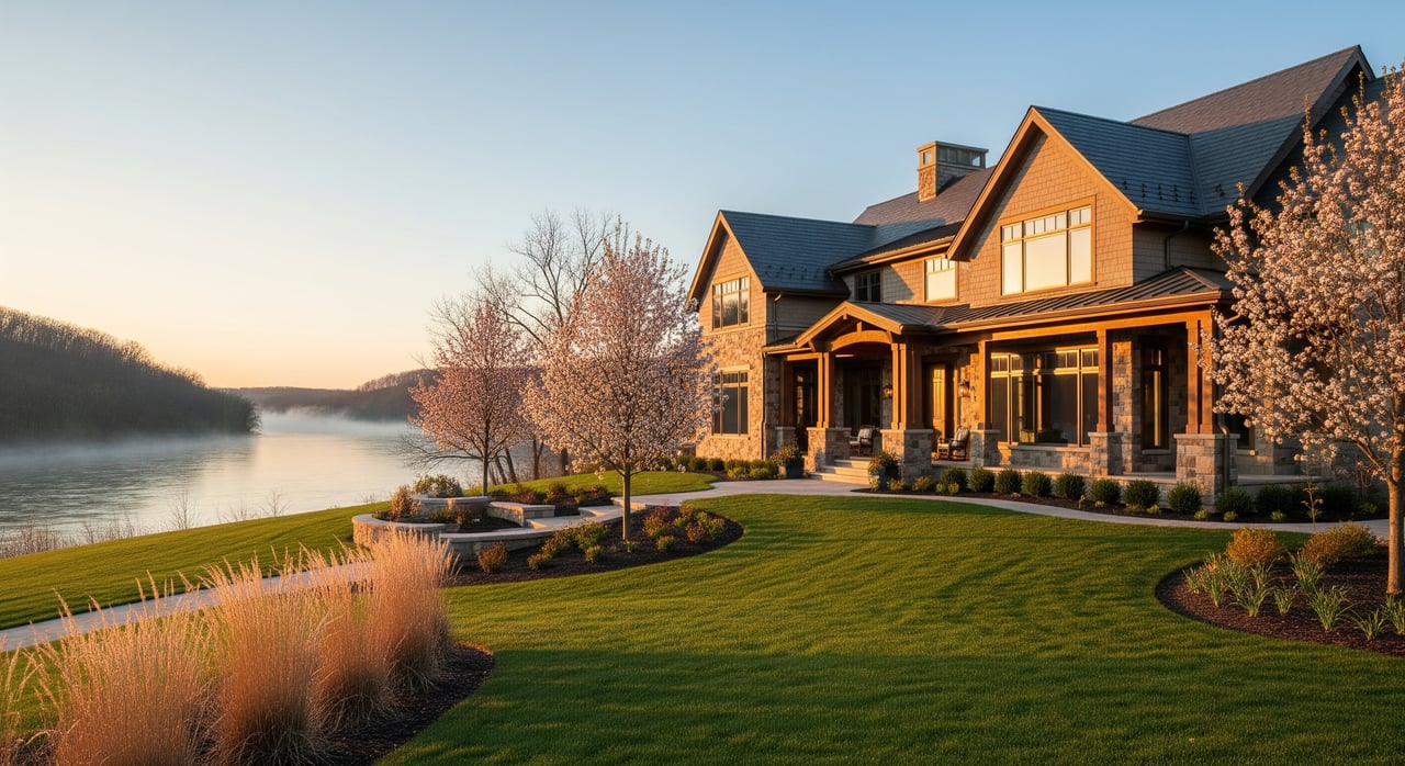
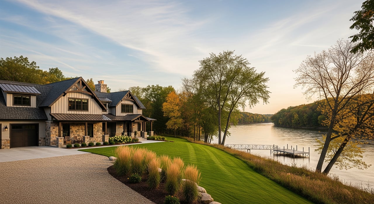
Aerial imagery shows what buyers care about at a glance: lot shape, roof condition, yard size, outbuildings, and how the property sits in the neighborhood. Industry guidance points to higher visibility when listings include aerials, especially for unique settings and acreage. NAR’s field guide on drones in real estate outlines why these visuals work.
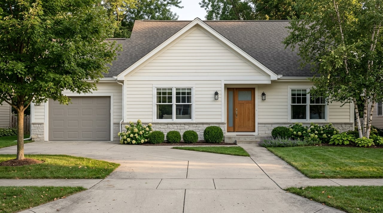
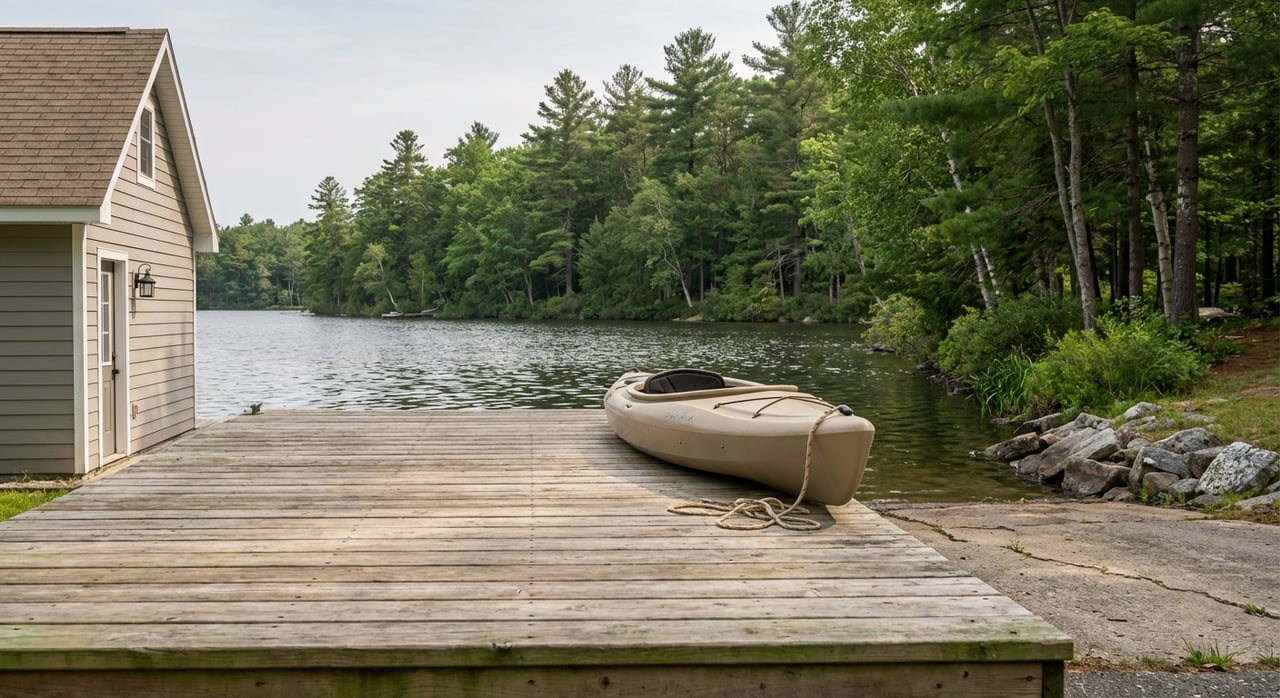
Mosinee has strong use cases for drone shots. Properties near the Wisconsin River or Lake DuBay, homes with large yards or farmland, and listings where proximity to parks, schools, highways, or Central Wisconsin Airport matters all benefit from aerial context. Pairing aerials with twilight exteriors and crisp HDR interiors often increases clicks and perceived value, a trend highlighted by this breakdown of photography styles and results.
Commercial drone work must follow federal law. Your operator should hold an FAA Remote Pilot Certificate under Part 107 and use a properly registered drone. You can confirm the basics in the FAA’s overview on becoming a certificated remote pilot.
Mosinee’s proximity to Central Wisconsin Airport means controlled airspace is common. Many flights will need LAANC or FAA authorization. Reputable pilots request approvals in advance using the process described in FAA airspace authorizations and LAANC. If your property is close to CWA, plan on extra lead time.
Wisconsin also restricts drones in state parks and certain state properties without posted permission. Before flying from or over state-managed land, confirm the rules with the Wisconsin DNR. You can review the policy here: Wisconsin DNR flying-related rules. Local cities, counties, or park districts may limit launching or require permits, so check Mosinee and Marathon County pages when park property is involved.
Set clear expectations with buyers and sellers: drone photos are available when weather and FAA, state, and local rules allow. A qualified photographer will verify authorizations and insurance before the shoot.
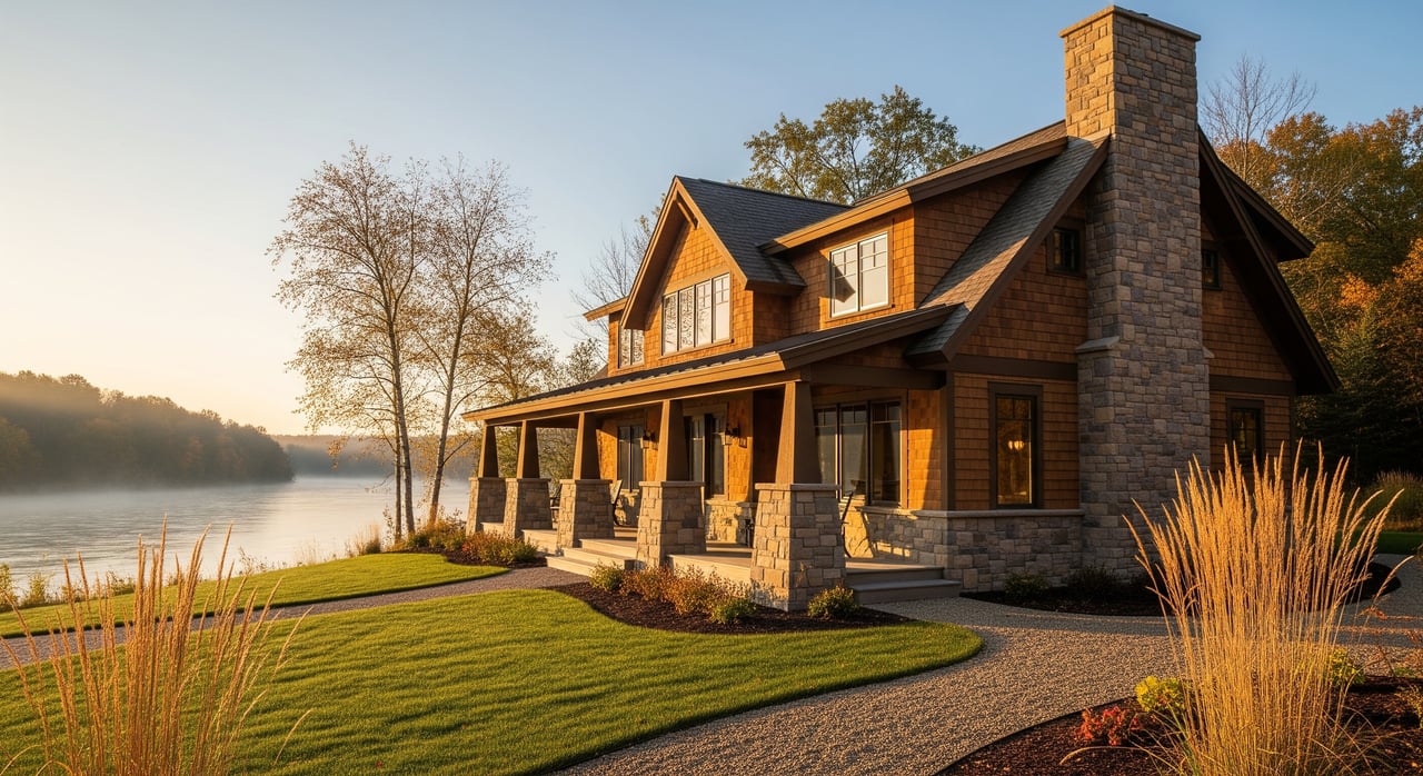
Season matters in central Wisconsin. Summers are warm with long daylight, fall colors create stunning visuals in late September through October, and winters bring snow, shorter days, and reflective conditions that need careful planning. See typical patterns for the area on the Mosinee climate summary.
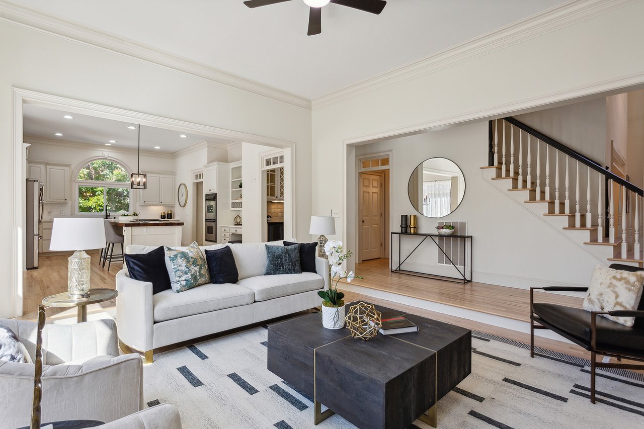
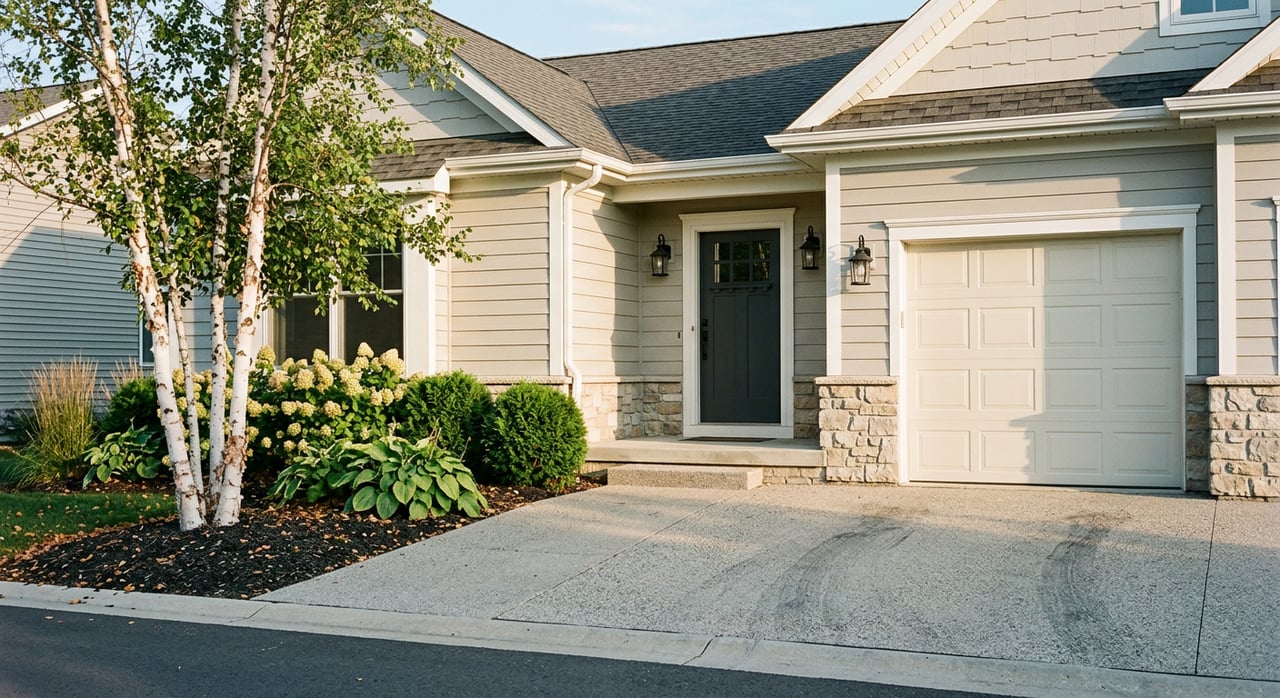
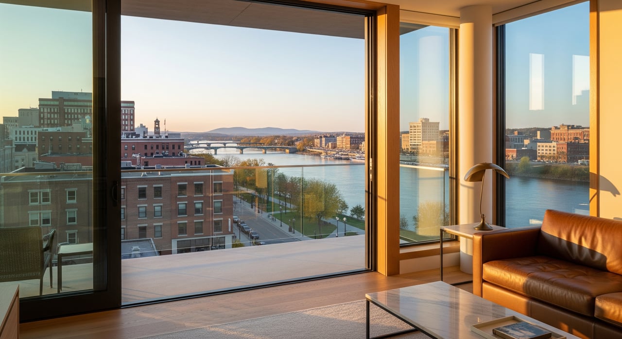
Time of day also affects the look. Interiors often photograph best mid day for balanced window light. Exteriors shine in early morning or late afternoon, while twilight creates dramatic curb appeal that draws clicks. Learn why the golden hour works in this short explainer on golden hour photography.
Vet credentials first. Ask to see the FAA Remote Pilot Certificate, confirm drone registration, and ensure the operator follows current FAA rules. Start with the FAA’s guidance on becoming a certificated remote pilot.
Confirm insurance and paperwork. Request a Certificate of Insurance for UAS liability, often at a 1 million dollar limit or higher when needed. On-demand or annual policies are available, as outlined in this drone insurance guide. If launching from park land, a permit and additional insured naming may be required.
Review portfolios and deliverables. Ask for sample aerials, interiors, and videos sized for MLS and social channels. Turnaround time, file counts, and naming formats should be clear in writing.
Pricing varies by package and deliverables. In many markets, a drone add-on runs about 100 to 400 dollars, with full photo, drone, and video packages ranging from roughly 300 to 1,200 dollars or more depending on extras like twilight, 3D tours, and floor plans. For examples of how providers structure services, see this sample services and pricing page. Local quotes in central Wisconsin are often at the lower end of major metros, but always confirm current rates.
You want marketing that is accurate, compliant, and compelling. When drone photos fit your property, we coordinate FAA-certified, insured professionals, confirm any airspace authorizations near Central Wisconsin Airport, and schedule for the best light and weather. The result is a clean, complete visual story that helps buyers understand your home and act with confidence.
Ready to showcase your Mosinee property the right way? Connect with Joleta Wesbrock to plan a photography strategy that fits your goals.
Stay up to date on the latest real estate trends.
Real Estate
I offer the highest level of knowledge, service and integrity. I care deeply about my clients and customers. Their real estate needs are my #1 priority and my goal is to exceed your expectations and be your realtor for life.